Federal cadastral survey
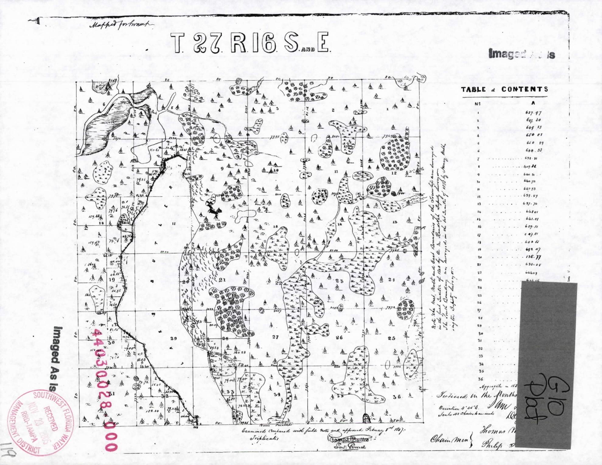
Orientation: Tarpon Woods is associated with Section 34, Township 27 South, Range 16 East, along the bottom row of the plat.
Use: Compare the original symbols and field notes with the applicant’s claimed historic ecological baseline.
Limit: Cadastral plats were made to survey public lands. Their symbols are not a current wetland delineation or a modern habitat map.
Search BLM GLO records